Land Use Planning
Land use plans provide concepts for the design and development of Surrey neighbourhoods.

Envisioning Surrey together
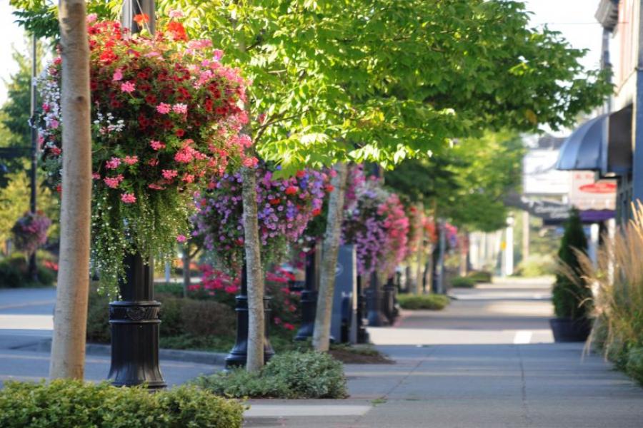
From neighbourhoods to city streets, parks to plazas, this is where our community lives. We work with the community to create vibrant and connected neighbourhoods where residents feel supported and engaged. Together we envision the future for each of the Surrey's distinct communities.

Current projects
Land use plans help to guide growth and plan for the future. Explore our ongoing land use plans and see how you can share your input:
Approved land use plans
Approved land use plans are endorsed by Council to guide development across the City. Explore approved land use plans by community:
Land use planning process
Planning in Surrey starts with the Official Community Plan (OCP) and the Sustainability Charter. These provide the policy framework for the growth of our Surrey. Land use plans provide more specific details and development considerations for growing areas of the City.
We use a five step process to develop land use plans. There are ongoing community engagement opportunities for each stage. After council initiates a planning process, we take the following steps:
- Getting started: conduct background studies and develop a vision and principles
- Exploring options: explore early ideas and land use options
- Developing the plan: identify preferred plan features and develop a draft land use map
- Refining the plan: develop servicing and financing plans and fine-tune land uses
- Completing the plan: finalize plan document and seek Council endorsement
After all five steps are complete and there is Council approval, the plan is implemented. See our land use planning process for more detail.

