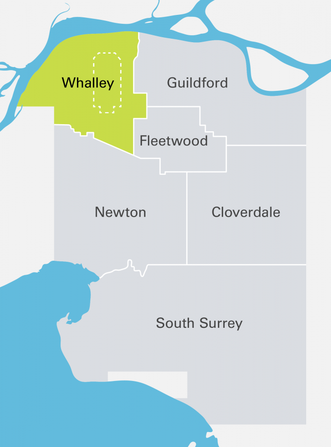
Whalley Land Use Plans
Learn about the secondary land use plans in the Surrey community of Whalley.
Whalley's land use plans provide neighbourhood-level details to guide development in growing areas. This includes information on land use designations, roads, locations of amenities and other related information. Explore land use plans below, including current projects and approved plans.
Current projects

We develop and update land use plans to guide growth and plan for the future. Explore Whalley's ongoing land use plans and see how you can share your input:
- South Westminster Plan Update - We’re updating the plan for South Westminster to reflect current market conditions and ensure that transit-oriented development principles are incorporated around the Scott Road SkyTrain Station and along the alignment of the planned R6 RapidBus.
- Surrey City Centre Plan Review - We're updating the plan for City Centre to reflect changing market conditions and rapid transit priorities, and to reinforce a central business district.
Approved land use plans
Approved land use plans have been developed through community consultation and endorsed by Council. These plans are used to guide development within Whalley. Explore land use plans by neighbourhood:
- Surrey City Centre Plan - The City Centre Plan guides the development of a walkable, transit-oriented downtown core for business, cultural and entertainment activity. Note, while this plan is in effect, some aspects are currently under review.
- South Westminster Heights Infill Plan - This land use plan is for a the residential infill of a neighbourhood in northwest Whalley, between Royal Kwantlen Park and South Westminster.

