South Surrey Land Use Plans
Learn about the approved secondary land use plans in South Surrey.
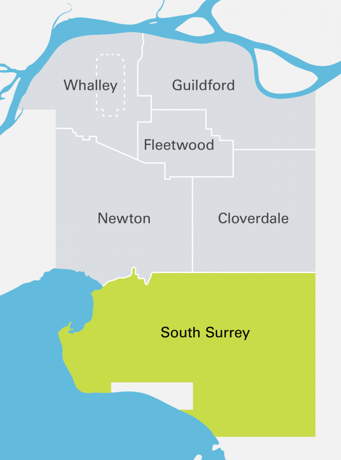
South Surrey's land use plans provide neighbourhood-level details to guide development in growing areas. This includes land use designations and density, road network details, locations of amenities, servicing and other related information. Explore South Surrey's land use plans below, including current projects and approved plans.
Current projects

We develop and update land use plans to guide growth and plan for the future. Explore South Surrey's ongoing land use plans and see how you can share your input:
- There are currently no ongoing land use plans.
Approved Land Use Plans
Approved Land Use Plans have been developed through community consultation and endorsed by Council. These plans are used to guide development in South Surrey.
Explore land use plans by neighbourhood:
- Crescent Beach LAP - This local area plan guides development in the largely residential peninsular enclave of Crescent Beach.
- Douglas NCP - This neighbourhood concept plan designates land uses for the Douglas neighbourhood, bordering Washington State, between Highway 99 and Highway 15.
- Highway 99 Corridor LAP - This local area plan designates employment land uses along the eastern edge of Highway 99.
- King George Corridor LAP - This local area plan designates land uses along King George Boulevard, from 8 Avenue north to the Nicomekl River.
- Semiahmoo Town Centre - In 2022, Council approved a new plan to guide the development of a more compact and walkable town centre.
Campbell Heights
- Campbell Heights LAP - This local area plan designates industrial and employment land uses along the eastern border of Surrey, between 16 Avenue and 44 Avenue.
- South Campbell Heights LAP - Review plans for a south extension of Campbell Heights.
Grandview Heights
- Darts Hill NCP - This neighbourhood concept plan designates land uses for the southern portion of Grandview Heights, south of 20 Avenue and east of 168 Street.
- Grandview Heights General Land Use Plan (GLUP) - This general land use plan provides an overall framework that guides all future land use plans in Grandview Heights.
- North Grandview Heights NCP - This neighbourhood concept plan designates land uses for the neighbourhoods north of 28 Ave, from King George Blvd to Hwy 15.
- Morgan Heights NCP - This neighbourhood concept plan designates land uses for the first urban residential neighbourhood in Grandview Heights.
- Orchard Grove NCP - This neighbourhood concept plan designates land uses for a residential neighbourhood bounded by 26 Avenue to the north and 24 Avenue to the south.
- Sunnyside Heights NCP - This neighbourhood concept plan designates land uses for the southwestern portion of Grandview Heights, south of 24 Ave and west of 168 Street.
- Redwood Heights NCP - This neighbourhood concept plan designates land uses for the land east of Highway 15.
Rosemary Heights
- Rosemary Heights Business Park Plan - This plan designates land uses for the north extension of the Highway 99 Corridor Local Area Plan, extending employment lands north to 32 Avenue.
- Rosemary Heights Central NCP - This neighbourhood concept plan designates land uses for the central portion of the Rosemary Heights area, north of 32 Avenue to the Nicomekl River.
- Rosemary Heights West NCP - This neighbourhood concept plan designates land uses for the western portion of the Rosemary Heights area, including the Barbara Creek watershed.

