
WALKit
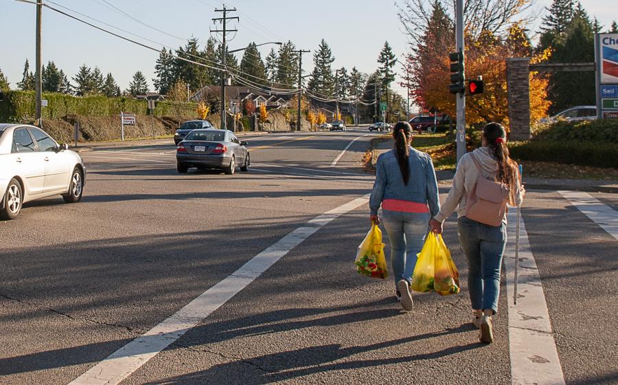
Walking is a great way to get around, explore our city, and help achieve your fitness goals. Join us for a walk, or use our web map to explore new pedestrian routes in your neighbourhood!
Get moving, meet new people, and learn about various areas and topics of interest through the WALKit program. We offer free guided walks for:
- Beginner: If you are new to exercise or are experiencing limited mobility
- Ages 55+: Wednesdays, year-round
- Punjabi Language: See schedule below
Can't meet up? Use our interactive WALKit Web Map to explore pedestrian routes across Surrey.
For more information or assistance with registration, please contact Jen Soti at 236-878-9182 or email JSoti@surrey.ca
WALKit Beginner
Join us for a gentle walk. If you are new to exercise or are experiencing limited mobility, walking is a great way to get around. With walking, you can explore your city. Or use our web map to discover new pedestrian routes in your neighbourhood that suit your pace and needs!
WALKit Beginner - South Surrey Recreation and Arts Centre
August 7 at 9:30am-10:30am
September 18 at 10:30am-11:30am
WALKit Beginner - South Surrey Indoor Pool
July 31 at 9:30am-10:30am
August 21 at 9:30am-10:30am
September 25 at 10:30am-11:30am
WALKit Beginner - Ocean Park Library
August 14 at 9:30am-10:30am
August 28 at 9:30am-10:30am
WALKit Beginner – Clayton Community Centre
September 11 at 10:30am-11:30am
WALKit Beginner – Cloverdale Recreation Centre
September 4 at 10:30am-11:30am
October 9 at 10:30am-11:30am
WALKit Beginner – Grandview Heights Aquatic Centre
October 2 at 10:30am-11:30am
WALKit activity program: 55+
Join us for our group walks on Wednesdays to work on mobility, meet new people, and chat about different points of interest along the way. Hosted year-round.
Elgin Heritage Park walk
July 30 at 9:00am-10:30am
Join us for a walk on the banks of the Nicomekl River! Check out the gorgeous wetland, meadow, forested area, and marina. Learn more about the history and the events offered at the Historic Stewart Farm.
Crescent Park nature walk
August 6 at 9:00am-10:30am
Walk through the mature second growth forests. See ponds and streams and many species of birds, ducks, and kingfishers.
Bear Creek Park nature walk
August 13 at 9:00am-10:30am
Walk in one of Surrey's most popular parks. Explore the nature trails that wind through meadows and forests. Lookout for owls, eagles, ducks, aquatic insects, frogs, and salamanders.
Bakerview urban walk
August 20 at 9:00am-10:30am
Join us on this local urban walk that will highlight local community services, programs, and businesses. Explore local landmarks such as the Semiahmoo Library and police station “living wall”.
Crescent Beach walk
August 27 at 9:00am-10:30am
Join us on this local nature walk in Surrey's only beach community! Explore the walking trails in Blackie Spit Park. Check out the Dunsmuir Community Garden. Walk the gravel promenade pathway that runs next to the beach. Check out the sights and sounds of the ocean.
Chantrell Creek Park walk
September 3 at 10:00am-11:30am
Details coming soon.
Fleetwood Park
September 10 at 10:00am-11:30am
Details coming soon.
Serpentine Wildlife Management Area
September 17 at 10:00am-11:30am
Details coming soon.
Serpentine Wildlife Management Area
Grandview Heights Aquatic Centre
September 24 at 10:00am-11:30am
Details coming soon.
Grandview Heights Aquatic Centre
Godwin Farm Biodiversity Preserve
October 1 at 10:00am-11:30am
Details coming soon.
Godwin Farm Biodiversity Preserve Park
Green Timbers Urban Forest
October 8 at 10:00am-11:30am
Details coming soon.
Green Timbers Urban Forest Park
South Surrey Indoor Pool
October 15 at 10:00am-11:30am
Details coming soon.
Newton Athletic Park
October 22 at 10:00am-11:30am
Details coming soon.
Tynehead Regional Park
October 29 at 10:00am-11:30am
Details coming soon.
Clayton Community Centre
November 5 at 10:00am-11:30am
Details coming soon.
Fleetwood Community Centre
November 12 at 10:00am-11:30am
Details coming soon.
South Surrey Recreation & Arts Centre
November 19 at 10:00am-11:30am
Details coming soon.
South Surrey Recreation & Arts Centre
Mud Bay Park
November 26 at 10:00am-11:30am
Details coming soon.
Cloverdale Athletic Park
December 3 at 10:00am-11:30am
Details coming soon.
Chantrell Creek
December 17 at 10:00am-11:30am
Details coming soon.
WALKit Social Celebration
Join us for a WALKit social celebration! Come together with other participants from the program. Share your memories and stories of the various walks.
Blackie Spit - August 27 at 11:00am-12:30pm
Cloverdale Recreation Centre - December 10 at 5:30pm-7:00pm
WALKit activity program: Punjabi
As part of the City of Surrey's Focus Newton initiative, we're fostering social connections and building a vibrant, connected community.
The registration system is in English. If you would like language support to register for a Punjabi WALKit, contact Progressive Intercultural Community Services (PICS) Society at 604-596-7722, Ext. 185.
WALKit web map

Use the web map to get a detailed overview of pedestrian routes across Surrey, including routes that are age friendly. Plan your preferred route and enjoy a stroll outdoors. You can meet new people, get some fresh air and exercise.
How to use the map

Zoom in and out
Zoom the map in (objects appear larger), or zoom the map out (objects appear smaller). Alternatively you can use two fingers on a smart phone or other touch screen device to zoom in or out.

Locate me
Orients your current location to the center of the map. You may be prompted to allow experience.arcgis.com to know your location. Select Allow if you want the map to locate you.

Search
Type in things to search and pick from the list of suggestions provided. For example: type in Newton to see options to choose from. Map will zoom to selected item.

Layers/legend
See the Layer List or the Legend. The Layer List provides four layers of information on the map that a you can toggle on or off. The Legend describes content of map.

Toggle aerial
Change the background of the map between map view or aerial photo view.

Draw
Create simple markup graphics in the form of points, lines and polygons and choose from a variety of colours and templates. You can also display measurements with your choice of units. These graphics will remain on the app until the browser is closed/refreshed.

Print the current map view by connecting the app to your local printer or saving the image as a file on your mobile device.
Leave feedback about your walking route
Leave feedback about your walking experience and report a problem if your walk was not satisfactory. Click on the arrow button on the left side of the screen to view the feedback form. Your feedback could help prioritize future route improvements.
Trails & parks
If you prefer walking through the forest or surrounded by nature and wildlife, check out:
Walking tracks
If you're looking for cushioned walking tracks, check out the walking tracks at:
- Bear Creek Park (adjacent to Surrey Arts Centre)
- Newton Athletic Park
- South Surrey Athletic Park
- Guildford Recreation Centre (Indoors. Drop-in admission required)
Walking groups
Walking with others is a great way to catch up with family and friends while also getting fresh air and exercise. There are also numerous walking groups in Surrey for anyone looking to get out and meet new people.
Check out the following resources to find a group near you:
- Surrey Trekkers Volkssport Club
- Guildford Town Centre Walking Club
- Probus Club of White Rock & South Surrey
- Meetup for Walking Groups
- Semiahmoo Walkers
Know of a walking group not on this list? Please contact cityofsurrey@surrey.ca
Charity walks
Walk for a great cause at an upcoming charity walk in Surrey:
Sign up for a Charity Walk near you:
- Run Surrey Run
- Coldest Night of the Year
- Walk with Your Doc
- Terry Fox Run
- The Father's Day Run
- Child Development Foundation
- CIBC Run for the Cure
- CDSS Walk for Awareness
- Sun Life Walk to Cure Diabetes
Know of a charitable walk not on this list? Please contact cityofsurrey@surrey.ca
Self-guided walks
For scenic walks that take you past public art, gardens, or the waterfront, check out:
Walking Plan
Download the Surrey Walking Plan to read more about our goals for improvements across the city.
Greenways Plan
Review our Greenways Master Plan to discover our multi-use pathways for pedestrians.

Walking safety tips
We want you to stay safe while walking. Follow these tips: