Surrey Council endorses Imagine Scott Road Visioning Study
Surrey City Council has endorsed the Imagine Scott Road Visioning Study, a comprehensive planning framework that will guide the long-term development along Scott Road and 72 Avenue.
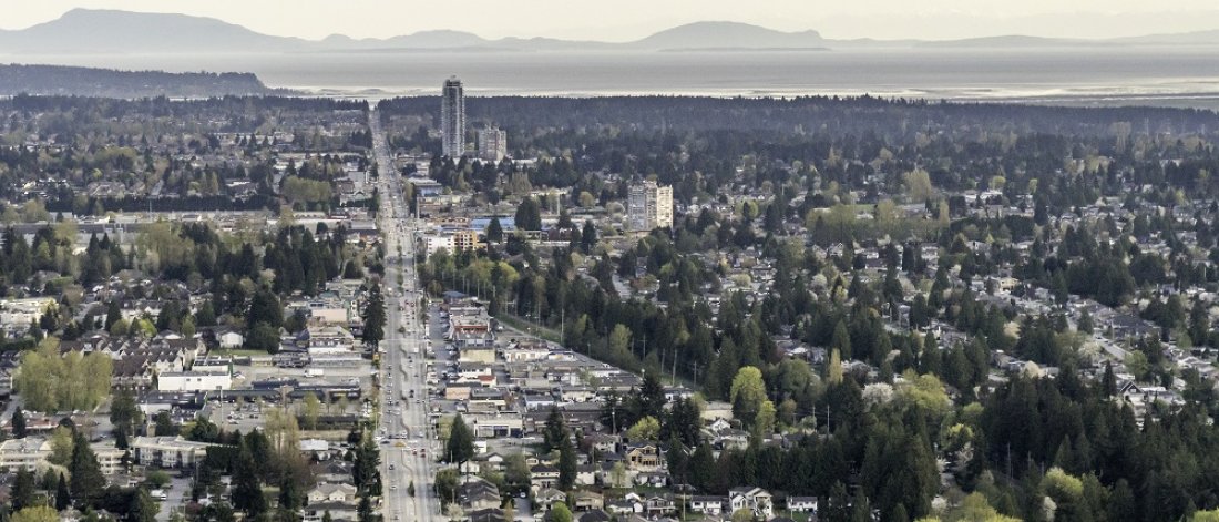
Surrey, BC – Surrey City Council has endorsed the Imagine Scott Road Visioning Study, a comprehensive planning framework that will guide the long-term development along Scott Road and 72 Avenue. The study outlines a vision for the area's growth, including increased density, community amenities, and environmental sustainability.
"The Imagine Scott Road Visioning Study is an important step forward for our city,” said Mayor Brenda Locke. “With the introduction of RapidBus along this route, a framework was needed to guide longer-term land use planning along the transit corridor, which is one of the busiest in the region. This plan will not only improve the daily lives of our residents and commuters, but also pave the way for the creation of new homes and vibrant neighborhoods, meeting the growing demands of our rapidly expanding city. I'm proud of the work that our staff has done to engage with the community and develop a plan that reflects their input.”
In all, the area includes approximately 8.44 square kilometers of land at the northeast boundary of Surrey, within the communities of Whalley and Newton. It is roughly bounded by the South Westminster Neighbourhood Concept Plan area to the north (along River Road and 104 Avenue), 124 Street/the Newton Town Centre Plan area to the east (along 134 Street), 68 Avenue to the south, and the City of Delta to the west. The area is home to over 41,000 people and is expected to grow in the coming years. The study recommends increasing density in the area, while also protecting environmental resources and promoting community amenities.
The study was developed through a comprehensive planning process that included background studies, technical analysis, and community engagement. Over 29,000 residents were informed through social media posts, direct mailouts, and other engagement activities.
The plan includes three future neighbourhood plans: Townline (north), Kennedy (central), and Strawberry Hill (south). The plan also recommends adjustments to Community Amenity Contributions to ensure rate parity along the corridor. The study has identified three future NCP areas in which more detailed planning work will occur, including the areas around the Scottsdale Bus Exchange TOA. Staff will report back to Council prior to the initiation of future NCPs along the Corridor.
With Council’s endorsement, proposed zoning amendments will proceed to Public Hearing.
For more information on the Imagine Scott Road Visioning Study, click here.