Online Heritage Tools
Surrey’s archival and artifact collections are at your fingertips.
NEW Surrey Online Heritage Search
Browse more than 100,000 archival photos, maps, documents and oral histories, as well as more than 5,000 Surrey-based artifacts. With the new SOHS, browse by category, neighbourhood, new additions or search for specific records using the keyword search.

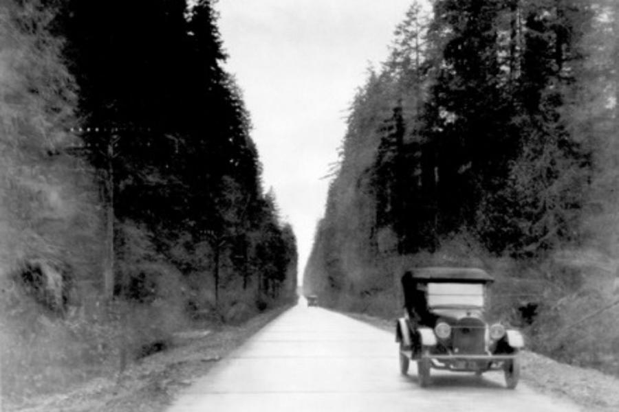
Surrey Time Lapse
Connect Surrey Archives’ historic images to modern day locations. Divided by town centres, this tool provides a unique 'then and now' experience. Below is a photo of two cars driving on the left side of the road through Green Timbers in 1920. New photos are added often so check back regularly.
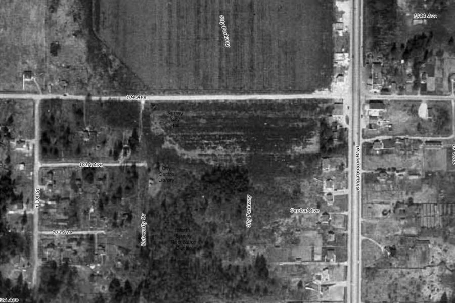
Mapping Tools
Get a birds-eye view of Surrey in 1949 and 1966. Add layers to customize your view with present day references, such as transportation routes, property lots, and more. Note this tool only works on desktop and there are small gaps in the 1966 map.
Created in partnership by Surrey Archives and the City Engineering Department’s GIS team.