Review the vision and principles of the Clayton General Land Use Plan.
The Clayton General Land Use Plan (GLUP) presents an overall vision for Clayton Heights. Clayton will be a compact and sustainable community where amenities and services are within walking distance of all homes. Completed in 1999, the Plan outlines overall land uses in the area. It also sets the stage for the development of a series of Neighbourhood Concept Plan (NCP) processes, which will guide more detailed neighbourhood planning.
The following NCPs have been developed within the Clayton Heights study area, based on the vision and principles of the Clayton GLUP:
A land use plan for North Clayton has not yet been initiated.
Plan Area
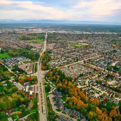
Clayton Heights encompasses an area of approximately 809 hectares (2,000 acres), extending from Fraser Highway in the south to the ALR in the north and west. It is bordered by the Township of Langley in the east.

Background Information
On January 25, 1999, Council approved the General Land Use Plan for Clayton and authorized planning staff to proceed with supplementary NCP planning process.
The public consultation component of the planning process was held throughout 1996 and included a formal questionnaire, public meetings and stakeholder workshops. Public involvement was supported through a 15-member Clayton Citizen Advisory Committee (CAC), who brought local knowledge to the planning process and represented property owners and residents during the preparation of land use alternatives. The final public information meeting for the General Land Use Plan was held by City Council in December 1998.
Key Documents
Contact Information
Planning & Development
planningdevelopment@surrey.ca
604-591-4448
Are you considering developing or rezoning? The first step is a Pre-Application Meeting.